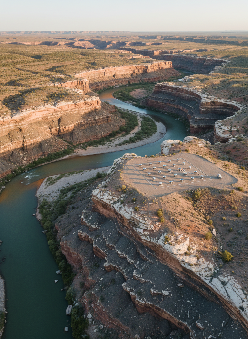
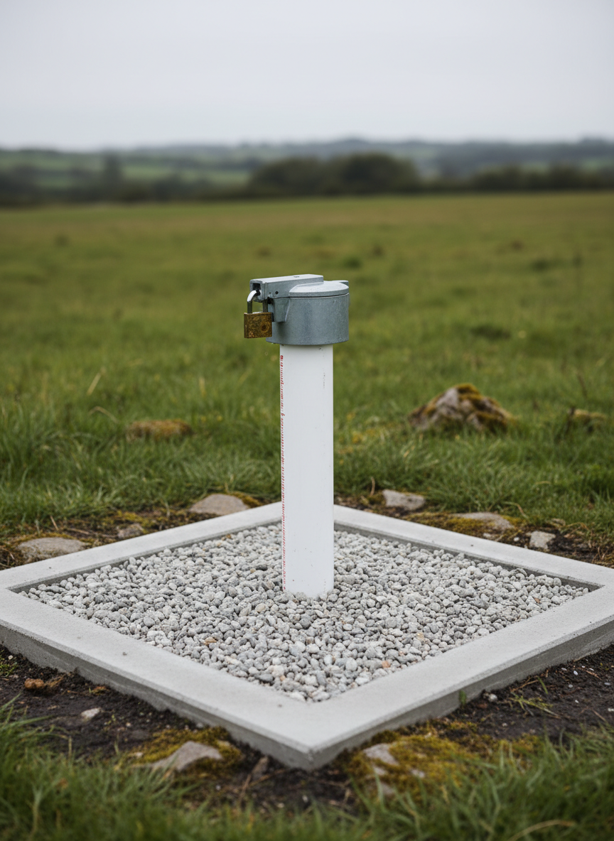
Case Studies

Explore real hydrogeology projects showcasing Ene and Eci’s methods, decisions, and measurable impacts on water security.

A high-resolution aerial photographic view of a semi-arid landscape with a winding river cutting through layered sedimentary rock, exposing bands of sandstone, shale, and fractured limestone. Detailed textures of weathered rock, gravel bars, and sparse vegetation are clearly visible. In the midground, several clean, modern monitoring wells with stainless steel casings and numbered caps are arranged in a precise grid. Soft late-afternoon sunlight from the left creates crisp shadows that emphasize topography and fracture patterns. The mood is analytical yet hopeful, suggesting scientific understanding of groundwater systems. Captured with a slightly oblique bird’s-eye perspective and sharp focus throughout, the composition uses the river as a leading line. Photographic realism with a clean, professional, environmental-science aesthetic suitable for a hydrogeology consultancy homepage.
A close-up, highly detailed photographic view of a groundwater monitoring well installation in a natural field setting. A pristine, white PVC well casing with a secure, lockable metallic cap emerges from a compacted gravel pad bordered by short native grasses and small, weathered stones. The well is surrounded by a low, square concrete apron with smooth edges, indicating a recent, professional installation. Soft overcast lighting from an evenly clouded sky creates gentle, shadow-free illumination that highlights textures of the materials and moist soil near the base. The mood is orderly and technical yet environmentally respectful. Captured at eye level with a moderate depth of field, the wellhead is in sharp focus while the background transitions into softly blurred rolling terrain and distant tree line. Photographic realism with a clean, understated scientific aesthetic.
A meticulously organized hydrogeology project workspace featuring a large, matte-white drafting table covered with detailed, full-color groundwater contour maps, cross-sectional profiles, and a translucent blue-tinted 3D aquifer model made of clear acrylic layers. Nearby, rugged rock core samples are neatly arranged in labeled trays, showing varying porosities and colors from pale sandstone to dark basalt. Soft, diffused daylight from a nearby window illuminates the scene, creating gentle reflections on the acrylic model and subtle shadows under the core trays. The atmosphere is calm, precise, and highly professional. Photographed from a slightly elevated angle with shallow depth of field, the foreground model is in crisp focus while stacks of technical reports and a laptop with hydrogeologic modeling software appear softly blurred in the background. Clean, modern photographic realism conveys expertise and reliability.
A sophisticated cross-sectional visualization of an urban hydrogeologic system rendered as a highly realistic physical display. In the foreground, a transparent acrylic tank shows layered subsurface materials: coarse gravel, fine sand, silty clay, and a fractured bedrock layer, each with distinct textures and natural colors. Blue-tinted water occupies the permeable zones, clearly showing an inclined water table and separate confined aquifer, with tiny bubbles and subtle turbidity for realism. Above, a stylized cityscape model with detailed buildings, streets, and stormwater drains rests on the surface. Directional studio lighting from above and the right creates crisp highlights and soft shadows, emphasizing depth and thickness variations. The mood is educational, precise, and forward-thinking. Shot at eye level with sharp focus throughout and a clean, neutral background, the composition feels like a professional hydrogeology demonstration piece for explaining urban groundwater resilience.

About

From Data to Decisions

Follow step-by-step narratives of groundwater assessments, from conceptual models to monitoring plans, written for policy leaders, community advocates, and technical water professionals.

A high-resolution aerial photographic view of a semi-arid landscape with a winding river cutting through layered sedimentary rock, exposing bands of sandstone, shale, and fractured limestone. Detailed textures of weathered rock, gravel bars, and sparse vegetation are clearly visible. In the midground, several clean, modern monitoring wells with stainless steel casings and numbered caps are arranged in a precise grid. Soft late-afternoon sunlight from the left creates crisp shadows that emphasize topography and fracture patterns. The mood is analytical yet hopeful, suggesting scientific understanding of groundwater systems. Captured with a slightly oblique bird’s-eye perspective and sharp focus throughout, the composition uses the river as a leading line. Photographic realism with a clean, professional, environmental-science aesthetic suitable for a hydrogeology consultancy homepage.

Testimonials

A close-up, highly detailed photographic view of a groundwater monitoring well installation in a natural field setting. A pristine, white PVC well casing with a secure, lockable metallic cap emerges from a compacted gravel pad bordered by short native grasses and small, weathered stones. The well is surrounded by a low, square concrete apron with smooth edges, indicating a recent, professional installation. Soft overcast lighting from an evenly clouded sky creates gentle, shadow-free illumination that highlights textures of the materials and moist soil near the base. The mood is orderly and technical yet environmentally respectful. Captured at eye level with a moderate depth of field, the wellhead is in sharp focus while the background transitions into softly blurred rolling terrain and distant tree line. Photographic realism with a clean, understated scientific aesthetic.

Hope D.

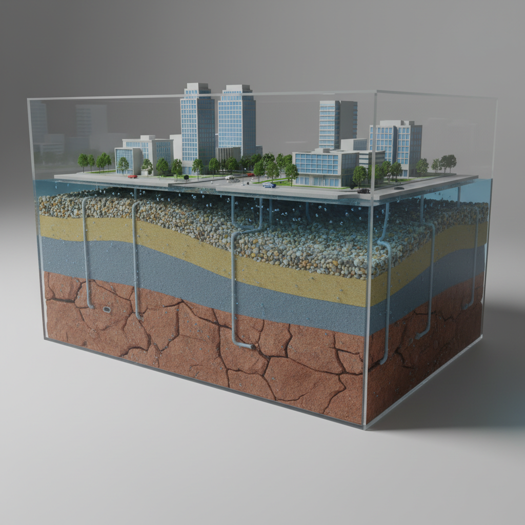
Ene translated complex aquifer data into clear options, helping our municipality secure sustainable groundwater supplies despite rapid population growth and changing rainfall patterns.

A meticulously organized hydrogeology project workspace featuring a large, matte-white drafting table covered with detailed, full-color groundwater contour maps, cross-sectional profiles, and a translucent blue-tinted 3D aquifer model made of clear acrylic layers. Nearby, rugged rock core samples are neatly arranged in labeled trays, showing varying porosities and colors from pale sandstone to dark basalt. Soft, diffused daylight from a nearby window illuminates the scene, creating gentle reflections on the acrylic model and subtle shadows under the core trays. The atmosphere is calm, precise, and highly professional. Photographed from a slightly elevated angle with shallow depth of field, the foreground model is in crisp focus while stacks of technical reports and a laptop with hydrogeologic modeling software appear softly blurred in the background. Clean, modern photographic realism conveys expertise and reliability.

Hope D.

Their field investigations identified a safer wellfield location, reducing contamination risks and saving us from costly emergency water trucking during the dry season.

A sophisticated cross-sectional visualization of an urban hydrogeologic system rendered as a highly realistic physical display. In the foreground, a transparent acrylic tank shows layered subsurface materials: coarse gravel, fine sand, silty clay, and a fractured bedrock layer, each with distinct textures and natural colors. Blue-tinted water occupies the permeable zones, clearly showing an inclined water table and separate confined aquifer, with tiny bubbles and subtle turbidity for realism. Above, a stylized cityscape model with detailed buildings, streets, and stormwater drains rests on the surface. Directional studio lighting from above and the right creates crisp highlights and soft shadows, emphasizing depth and thickness variations. The mood is educational, precise, and forward-thinking. Shot at eye level with sharp focus throughout and a clean, neutral background, the composition feels like a professional hydrogeology demonstration piece for explaining urban groundwater resilience.

Hope D.

Thanks to Ene’s modelling, we now allocate industrial and community water use confidently, with transparent evidence that reassures regulators and local stakeholders alike.

A high-resolution aerial photographic view of a semi-arid landscape with a winding river cutting through layered sedimentary rock, exposing bands of sandstone, shale, and fractured limestone. Detailed textures of weathered rock, gravel bars, and sparse vegetation are clearly visible. In the midground, several clean, modern monitoring wells with stainless steel casings and numbered caps are arranged in a precise grid. Soft late-afternoon sunlight from the left creates crisp shadows that emphasize topography and fracture patterns. The mood is analytical yet hopeful, suggesting scientific understanding of groundwater systems. Captured with a slightly oblique bird’s-eye perspective and sharp focus throughout, the composition uses the river as a leading line. Photographic realism with a clean, professional, environmental-science aesthetic suitable for a hydrogeology consultancy homepage.

Hope D.

Eci combined satellite data with on-site testing to locate new boreholes, doubling our village’s dry-season water reliability within a single project cycle.